White Plains (KHPN) → Eagle (KEGE)
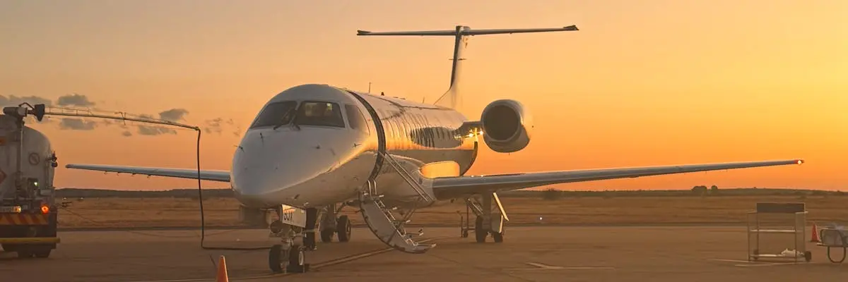
The route from Westchester County Airport in White Plains to Eagle County Regional Airport in Eagle covers 1,512.7 nautical miles, or 1,740.8 statute miles. This is a transcontinental flight connecting the New York metropolitan area to the Colorado Rocky Mountains.
All major jet categories are suitable for this route. Light jets complete the flight in 4 hours, while midsize jets reduce that to 3 hours 46 minutes. Super-midsize jets fly it in 3 hours 29 minutes, heavy jets in 3 hours 26 minutes, and ultra-long-range jets in 3 hours 20 minutes. Aircraft selection depends on passenger count, luggage requirements, and preferred cabin amenities rather than distance limitations.
Eagle County Regional Airport sits at 6,540 feet elevation. Charters should confirm passenger and cargo loads with their operator, as high-altitude airports require performance calculations to ensure safe takeoff and landing, particularly during peak demand periods.
Estimated flight time by aircraft
| Aircraft category | Est. block time |
|---|---|
| Light Jet | 4h 00m |
| Midsize Jet | 3h 46m |
| Super-Midsize Jet | 3h 29m |
| Heavy Jet | 3h 26m |
| Ultra-Long-Range Jet | 3h 20m |
Compare your charter options
Independent partners — request availability & pricing direct.